
Local decisions first
Document existing features before proposing a new footprint
Bagdad is recorded as a Census-designated place, so this editorial locality is not a city permitting authority. Santa Rosa Development Services provides the county planning and application route; confirm the actual parcel jurisdiction. Start a patio or walkway sketch with the existing building, doors and surfaces that need to remain. Mark the proposed footprint and any removal separately. Ask the planning authority about the actual parcel constraints before assuming that a small concrete surface needs no review. Keep preservation or other property-specific questions with the authority rather than inferring them from the community name.
Local planning resource for Bagdad ↗ · Reviewed October 13, 2026. Confirm current requirements for the actual parcel.
Prepare the right kind of new-concrete request
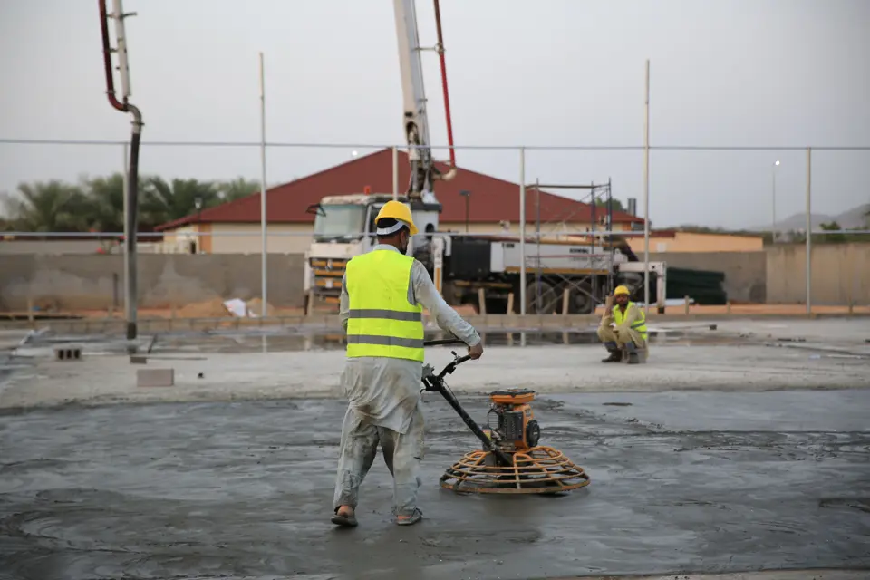
For a new driveway, note vehicle use and the street connection. For a patio, mark furniture space and door transitions. For a residential slab, describe the planned structure and provide any drawings. These are different scopes; do not compare them on area alone.
Give every bidder the same preliminary dimensions, photos and intended-use description. Ask who determines the design, checks local requirements and coordinates inspections. A volume calculation helps explain geometry but cannot specify a structural slab or final order.
A useful Bagdad project brief
- Exact property address and current permitting jurisdiction
- Intended surface and use, with a dimensioned sketch
- Photos of access, transitions and observed drainage
- Written inclusions, exclusions and design responsibility
Why this community is in the directory
Bagdad, FL has a published Census population estimate of 4,466. Its Census representative point is 39.3 straight-line miles from Foley’s; this is not a driving distance or a response-time estimate. The representative point is in Santa Rosa County. Places can cross county lines; confirm the parcel rather than using this point as a boundary check.
Population data uses the latest available 2025 municipal estimates and 2024 ACS five-year CDP estimates. It is editorial targeting, not provider-confirmed coverage, a dispatch radius or a claim of an office in Bagdad.
Regional orientation
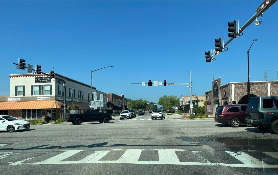
Geographic orientation only. This map does not mark an office or confirm address availability.